

Europe uses AI and GIS to turn climate data into emergency intelligence
New technologies help responders track wildfires, flooding, and extreme weather as climate risks increase across the continent.
 Climate Desk 2 min read
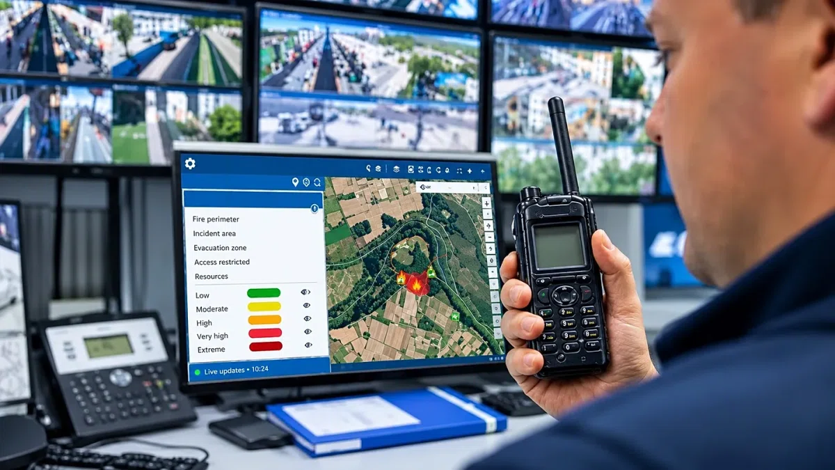
Europe is using geographic information systems (GIS) and artificial intelligence to turn vast climate data into intelligence for emergency responses and disaster prevention. These tools help responders identify where danger lies, how conditions might change, and where resources are needed during forest fires, heavy rain, or high winds.
The scale of climate risk is growing, with half of the EU experiencing drought in summer 2026. By October, wildfires had burned more than 690,000 hectares of land, an area nearly twice the 20-year average.
In Spain's Navarre region, Vexiza developed an integrated wildfire-management system that connects resource dispatch, operational planning, and fire monitoring to regional emergency response. The system allows decision-makers to access information on weather, air and ground resources, and response teams in one place. Simulations within the system show how a fire might evolve over 24 hours to help identify priority areas and evacuation routes.
Other initiatives include the Horizon Wildfire Insights project, supported by the European Space Agency and involving Airbus, B2Space, and Vexiza, which aims to integrate Earth observation data and field reports for a coordinated response. Additionally, Vexiza and the research institute IMIDA developed a hydrometeorological risk monitoring platform in Spain's Region of Murcia to assess flood risks in rural and coastal areas.
Data technologies also assist in preparation through scenario modelling, which allows experts to explore how floods or fires might develop under different conditions. While these tools do not replace human judgement, they help professionals identify vulnerable areas and prioritise preventive action when resources are stretched.
Key facts
- Wildfires burned more than 690,000 hectares of land in Europe by October, nearly twice the 20-year average.
- Half of the EU experienced some level of drought during summer 2026.
- Vexiza developed a wildfire-management system in Spain's Navarre region to integrate resource dispatch and fire monitoring.
Three perspectives
Neutral
Europe is utilizing GIS and AI to process large volumes of climate data into actionable intelligence for emergency services.
Positive
These technologies help emergency responders anticipate changing conditions and prioritise actions to protect lives and the economy.
Negative
Climate change is increasing the frequency of risks such as wildfires, flooding, drought, and extreme heat.
Your week in news, every Wednesday
The biggest stories of the week for your edition, in your inbox every Wednesday morning, your time. Free, and you can unsubscribe at any time.