

Agencies use geospatial mapping to improve HPV vaccination coverage
Government agencies are using geospatial dashboards and heat maps to identify coverage gaps and strengthen health service delivery for girls aged 9 to 14.
 Health Desk 2 min read
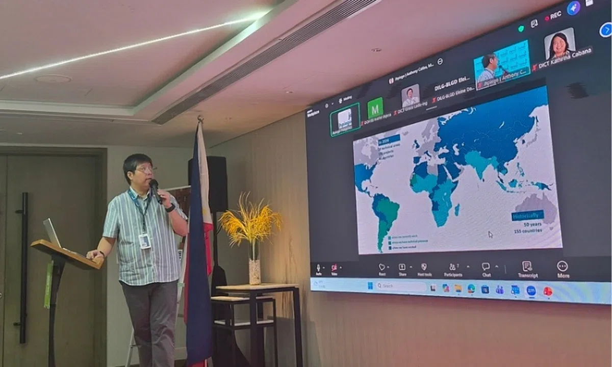
National government agencies held a technical dialogue on using geospatial information and data visualization to strengthen health service delivery, specifically HPV vaccination. This intervention aims to protect girls ages 9 to 14 from HPV infection and diseases including cervical cancer.
The initiative, implemented by Jhpiego in partnership with the Department of Health (DOH) and Department of Education (DepEd), used official DepEd school-based immunization data from 2015 to 2024. These data were used to develop geospatial dashboards and heat maps to support evidence-based planning and decision-making.
The technical products provide visualizations of first-dose HPV vaccination coverage, school participation rates among provincial- and city-level schools division offices, and the distribution of schools based on coverage. An accessibility tool was also developed to show public schools alongside their corresponding HPV1 coverage using isochrones.
Dr. Anthony Calibo, Immunization Technical Advisor at Jhpiego Philippines, said geospatial data allow decision-makers to see vaccination coverage beyond numbers and identify opportunities to strengthen delivery. Jade Ashley Corpuz, Economic Development Specialist I of DEPDev, noted the dashboards can help identify local government units with significant gaps to provide evidence for regional development and investment plans.
DOH KMITS and DepEd PS-EMISD agreed to pursue a joint agreement for hosting the dashboards through a memorandum of agreement, including a cost-sharing arrangement. Jhpiego will turn over the GitHub repository containing the dashboards and geospatial tools to DOH and DepEd.
Following the handover, the resources will undergo evaluation, validation, and review by the concerned agencies to determine technical requirements and potential application. The products will be formally handed over during the upcoming HAPPI Project completion ceremony.
Key facts
- The initiative used DepEd school-based immunization data from 2015 to 2024 to create geospatial dashboards.
- The technical dialogue included representatives from DOH, DepEd, DICT, DEPDev, DILG, and DENR-NAMRIA.
- DOH and DepEd plan to enter a memorandum of agreement for hosting the dashboards through a cost-sharing arrangement.
Three perspectives
Neutral
National government agencies convened for a technical dialogue on using geospatial information to strengthen HPV vaccination service delivery.
Positive
The initiative uses geospatial dashboards and heat maps to help decision-makers identify coverage gaps and strengthen vaccination delivery.
Negative
The transition of the dashboards requires a joint agreement between DOH and DepEd regarding hosting and cost-sharing arrangements.
Your week in news, every Wednesday
The biggest stories of the week for your edition, in your inbox every Wednesday morning, your time. Free, and you can unsubscribe at any time.