

Himalayan flood risk rises as building expansion hits GLOF zones
A study shows building area in glacial lake outburst flood zones rose by 77% between 2016 and 2023.
 Climate Desk 2 min read
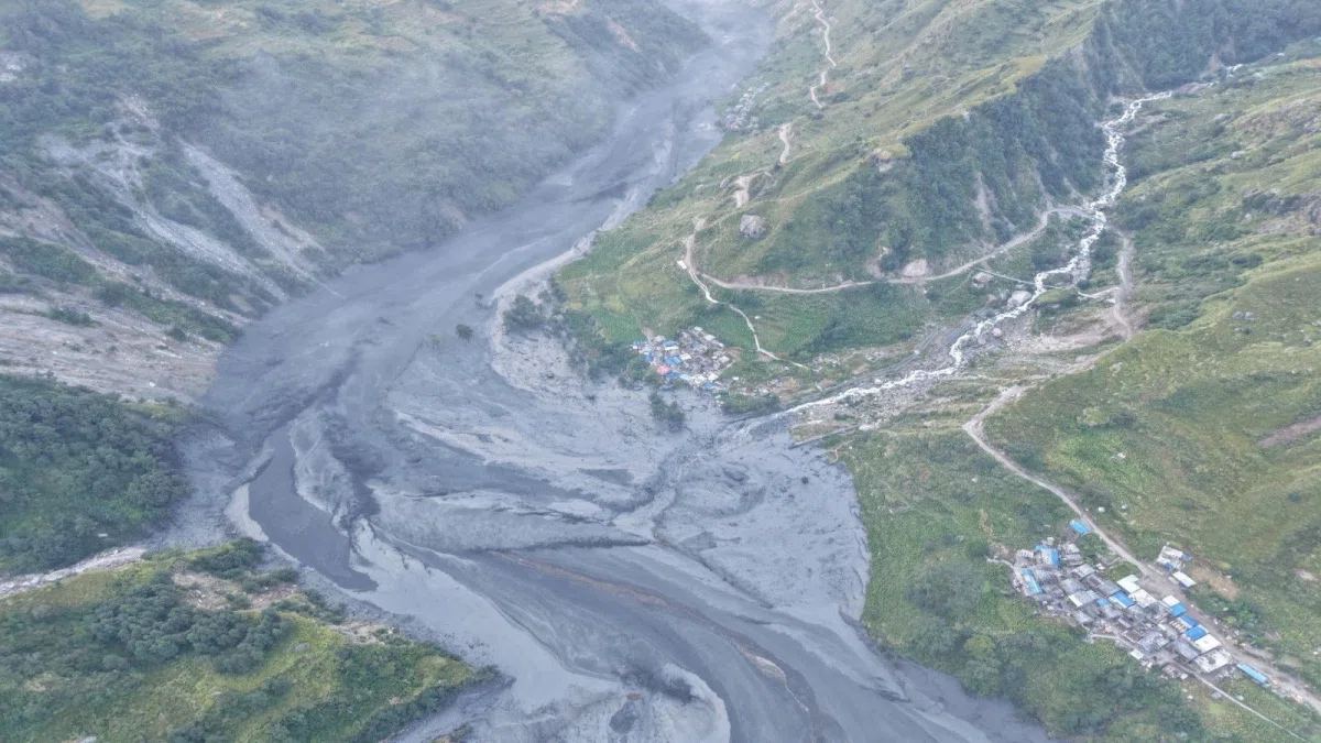
Rapid infrastructure expansion along Himalayan river corridors is placing hundreds of thousands of residents at risk. Melting glaciers, expanding glacial lakes, and thawing mountain permafrost are increasing the threat of floods, landslides, and other high-altitude hazards across Nepal, India, and China.
A study published in Scientific Reports found that building area within modelled glacial lake outburst flood (GLOF) zones rose by 77% between 2016 and 2023. Building area within 50 metres vertically of river channels also increased by 46% during that same period.
Researchers estimate that approximately 293,800 people, or about 18% of the population in the studied catchments, could be living within 50 metres vertically of watercourses in 2026. The study found increasing building exposure in Nepal and China, though there was no clear trend in building exposure within 50 metres vertically of river channels in Indian transboundary catchments.
Construction is expanding along river corridors where flat terrain provides space for homes, roads, and tourism facilities. However, these same valleys can serve as natural pathways for floodwaters and debris flows.
The researchers noted that future assessments should combine more reliable building and population data with detailed flood hazard models and vulnerability indicators. They pointed to the need for reliable data on buildings and for flood exposure to be considered in land-use decisions and infrastructure planning.
Key facts
- Building area in modelled glacial lake outburst flood zones rose by 77% between 2016 and 2023.
- Around 293,800 people in the studied catchments could be living within 50 metres vertically of watercourses in 2026.
- Building area within 50 metres vertically of river channels increased by 46% between 2016 and 2023.
Three perspectives
Neutral
The study examined glacial lake catchments and downstream areas to evaluate the exposure of people and buildings to potential flooding.
Positive
Researchers suggest that using detailed flood hazard models and vulnerability indicators in future assessments can better inform disaster risk planning.
Negative
Melting glaciers and unstable mountain permafrost are amplifying flood hazards and placing hundreds of thousands of residents at risk.
Your week in news, every Wednesday
The biggest stories of the week for your edition, in your inbox every Wednesday morning, your time. Free, and you can unsubscribe at any time.